Know exactly where every photo was taken
Automatic GPS stamping on every capture gives you indisputable proof of where your documentation happened. Available on the Premium plan.
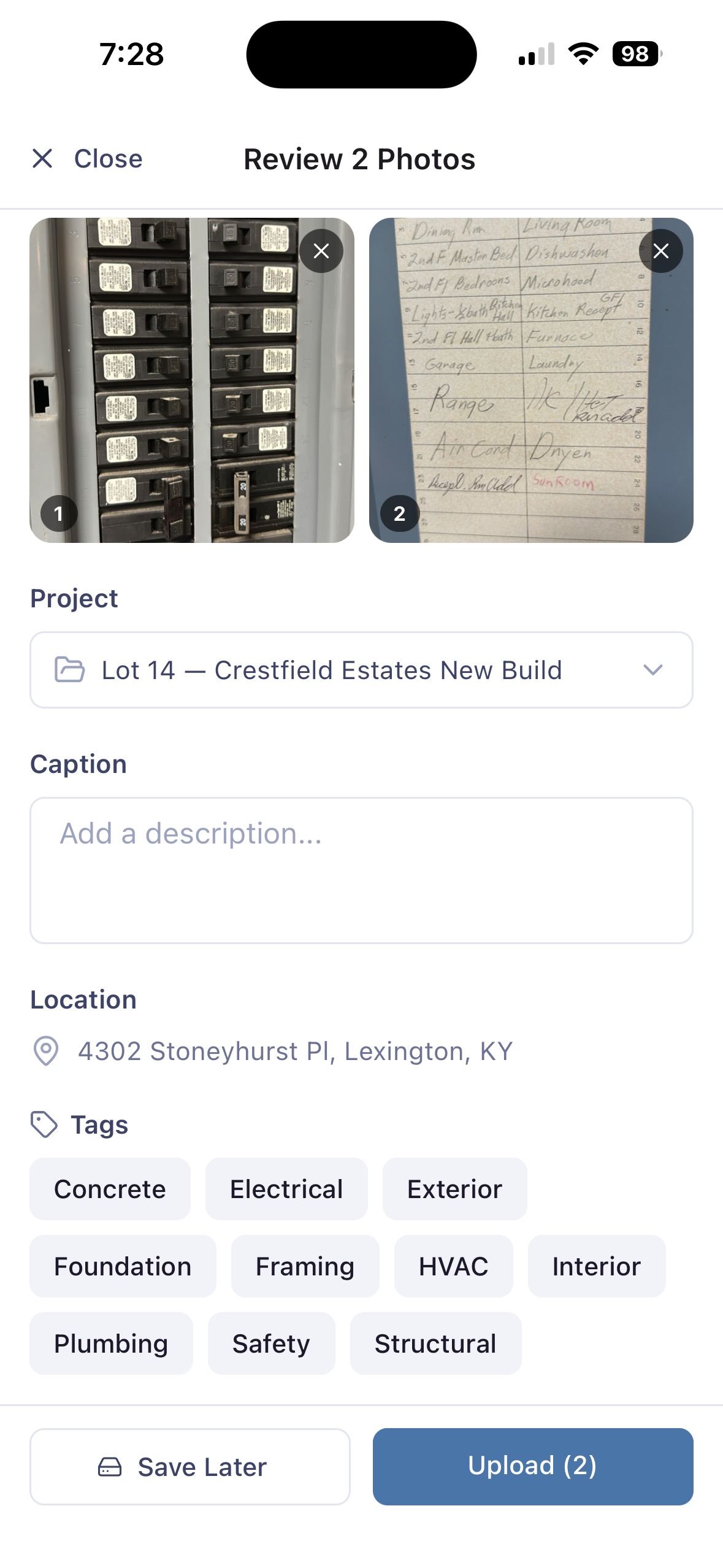
Location intelligence for every jobsite
Know exactly where your documentation came from — without asking anyone.
GPS Stamping
Every photo is automatically tagged with precise GPS coordinates at the moment of capture.
Project Assignment
Associate captured media directly with a project and lot number for instant organization.
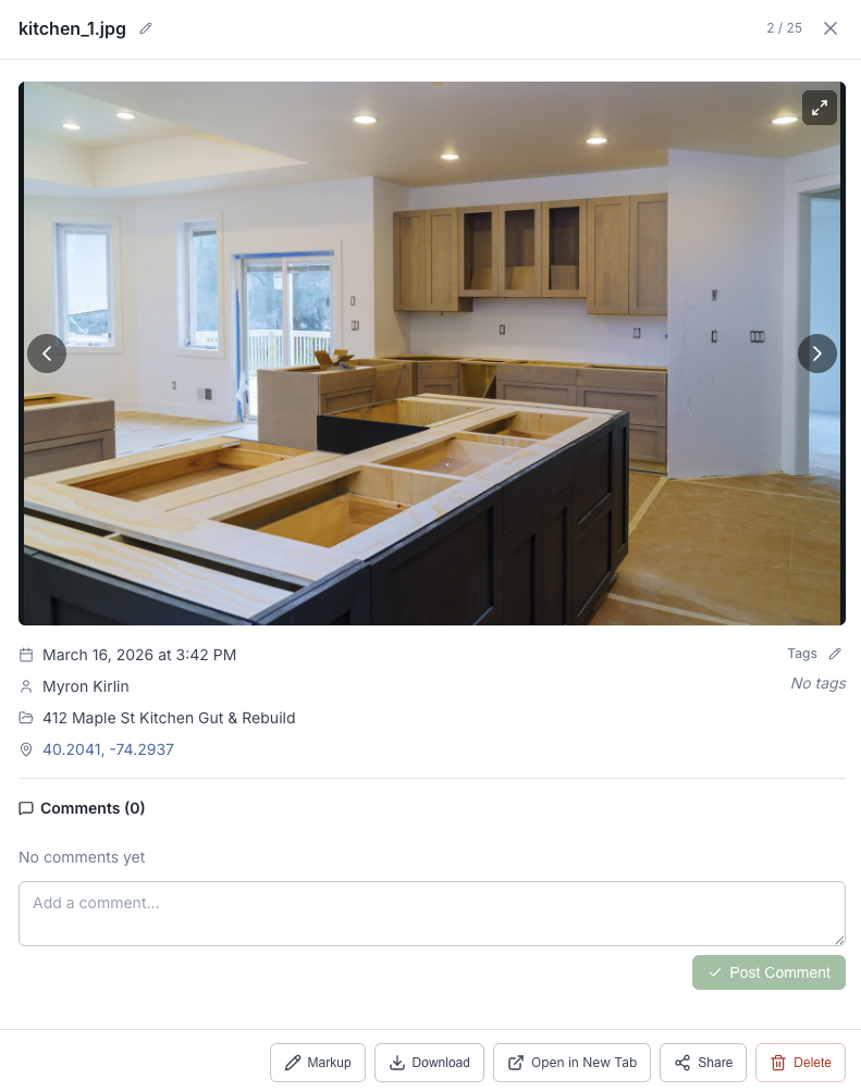
Searchable by Location
Filter your media library by address, project, or GPS coordinates from the web dashboard.
Map View
Visualize where photos were taken across your jobsite on an interactive map.
Audit Trail
Location data is permanently attached to every photo for compliance and dispute resolution.
Tag by Trade
Combine location tracking with custom trade tags for surgical-precision filtering.
Every capture, pinpointed
Automatic GPS stamping on every capture gives you indisputable proof of where documentation happened.
- GPS coordinates captured automatically — no manual entry
- Address displayed in plain text alongside coordinates
- Date, time, and project context on every photo
- Available on Premium plan and above
Ready to streamline your field documentation?
Join contractors, crews, and construction teams who document smarter with Field Tally.
14-day free trial · No credit card required